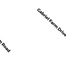
0003 GABRIEL FARM DRIVE
Owner Information
PINHANCOS DERRICK TRUSTEE
3 GABRIEL FARM DRIVE
ACUSHNET, MA 02743


Property Details
0003 GABRIEL FARM DRIVE is classified as a Single Family Residential (Colonial).
The primary structure on this property was built in 2000. There are 2,534ft2 of built area within this property. There is 2,534ft2 of residential/living space within this property. This property is listed as having 7 rooms.
0003 GABRIEL FARM DRIVE is valued at $497,900. The land is valued at $123,200 and the structures are valued at $365,700. There is an additional valuation of $9,000 on this property.
The most recent deed for 0003 GABRIEL FARM DRIVE is recorded at the local registrar in Book 13527, Page 143. 0003 GABRIEL FARM DRIVE was last sold on Wednesday, December 9, 2020 for $1.
Assessment data from fiscal year 2021.
Flood Data
According to the FEMA National Flood Hazard Layer, this property does not appear to be in a flood zone. It may also be in an area not yet reviewed. Nonetheless, confirm this information prior to taking any action.
To view the flood hazards around this property, create a FEMA "Firmette" Map of the area around 0003 GABRIEL FARM DRIVE.
Broadband Internet Providers
| Provider | Type | Bandwidth (mbps) | |
|---|---|---|---|
| Verizon New England Inc. | Fiber | 940 | 880 |
| VSAT Systems, LLC. | Satellite | 2 | 1 |
| HughesNet | Satellite | 25 | 3 |
| GCI Communication Corp. | Satellite | 0 | 0 |
| Comcast | Cable | 1000 | 35 |
| Viasat Inc | Satellite | 100 | 3 |
Broadband service provider data from December 2020.
Adjacent Properties
- 0 MIDDLE ROAD
Developable Residential Land owned by PHILLIPS ROAD INC - 0001 GABRIEL FARM DRIVE
Single Family Residential owned by SILVESTRE & MARIA MEDEIROS IRREVOCABLE TRUST - 0005 GABRIEL FARM DRIVE
Single Family Residential owned by MCGOWAN PETER A & SAMANTHA L - 0014 KEENE ROAD
Single Family Residential owned by WAYLAND DEVELOPMENT CORP